FREE Navionics Detailed Waterway Mapping
Get the best-selling navigation maps in the world for waterways, lakes and rivers throughout the nation FREE as a feature of your ACA membership!
Navionics maps are now included completely FREE with your ACA Premier memberships. Get interactive nautical and SonarChart™ maps with innovative 1ft/0.5 m bathymetry charts created using Navionics proprietary systems accessible from our resources with your active membership.
Navionics: Nationwide Lakes & Rivers
View an interactive Navionics map of lakes & rivers by state.
Key Navionics Maps Features
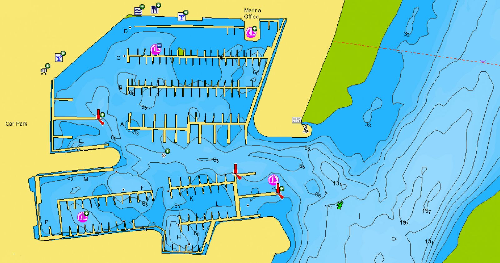
- View detailed shorelines with marinas, docks and boat ramp locations.
- Increase your awareness of shallow waters and hazardous areas at any depth level including shoals, rocks, wrecks and more.
- Target underwater structure to find the best fishing locations: roadbeds, foundations, bridges, brush piles, culverts and creek channels.

Study the map: Sample of Navionics chart showing a port plans and available marine services.
